Leica unleashing cutting-edge technology (VIDEO)
Leica Geosystems is offering a new way of doing business with their MC1 Modify Models.
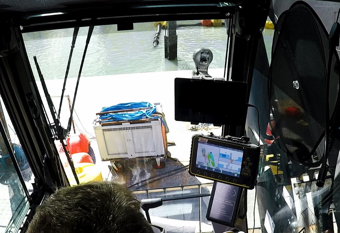
The MC1 software allows for the visibility of the excavator bucket and position below the water surface.
Leica MC1’s user interface displays the Modify Models feature as a dynamic heatmap, guiding the operator’s efforts with pinpoint accuracy.
Modify models updates with every tool pass, providing continuous guidance, even when line of sight is obstructed, such as in dredging operations.
The new platform is fully integrated into the heavy construction workflow, supported by the cloud-based Leica ConX productivity platform.


